Municipality of Lemvig (Denmark): Managing pipelines and wastepipes with the support of satellite data
The user
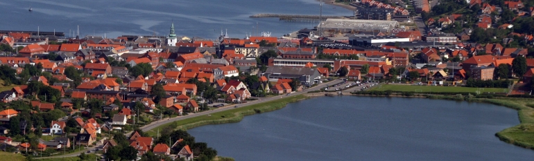
The Municipality of Lemvig, on the west coast of the Jutland peninsula in Denmark, has a population of 21 500. The Municipality covers an area of more than 500 km2, including the towns of Lemvig and Thyborøn-Harboøre. Lemvig is surrounded by water, with three fjords on its southern borders and a string of islands on its western perimeter.
Lemvig Vand og Spildevand (Lemvig Water and Wastewater) is the private supply company (100% owned by the Municipality of Lemvig) in charge of managing 575 km of waste-water pipeline and 580 km of drinking-water pipelines in the area.
The challenge
Lemvig Vand og Spildevand noticed that, while pipelines in the area had an average life of 75 years, pipes in Thyborøn would only last 30 years. Afterwards, the pipes had to be changed, which implied an effort both in terms of money and human resources. Moreover, substituting the pipes also causes inconveniences to residents during the necessary works.
Trying to understand what caused pipes in Thyborøn to degradate faster than in the rest of the Municipality, the company noticed that soil in Thyborøn would subside more than in other areas. Hence, they started looking for a tool that would allow them to monitor soil subsidence, better place the assets and intervene promptly on damaged pipes. The company had a long-term experience with precision levelling, but wanted a system to automatically monitor soil deformation throughout time while minimising the need for site inspections.
The satellite solution
In the late Nineties, Lemvig Vand og Spildevand decided to start using InSAR data to monitor soil subsidence in the area. The experience proved successful. Between 2014 and 2016, the European Union and the European Space Agency launched Sentinel 1, a constellation of two satellites with a high spatio-temporal resolution and coverage whose data is freely available. Thanks to a collaboration with the Lemvig municipality, the Danish Costal Authority and the Danish Agency for Data Supply and Efficiency, Sentinel data were used to assess land movements in Lemvig, documenting a subsidence up to 1 cm per year in Thyborøn.
The results
By using the soil deformation maps generated with Sentinel data, Lemvig Vand og Spildevand is able to precisely monitor soil subsidence in the area, in order to identify the pipes that need to be restored before they break up and with no need for regular site inspections. The company is now able to better manage its assets, and to position the pipes where they are expected to last longer.
They are so satisfied of the results obtained so far, that they are now working to launch a modelling pipe programme that would use Sentinel data to visualise the position of the pipes dynamically. This system would increase pipes’ lifetime of at least 10% and is expected to generate €500 000 of revenues per year.
The Danish Agency for Data Supply and Efficiency (SDFE) is currently working to identify other sectors of use of Sentinel data, both in the public and the private sectors.

Today, the utility sector believes that the underground is stationary – but actually it is moving. Satellite data allow us to monitor such movements, better place the pipes and extend their duration”, Lars Nørgård Holmegaard, CEO at Lemvig Vand og Spildevand.