The conference report containing more information about the event, a summary of content and the Eurisy recommendations, can be found here.
Day 1 Eurisy Conference
08:00-08:30 Registrations
08:30 Welcome notes & introductions
Sebastian Mayrgündter, IDM Südtirol
Lars Holstein, Satellite Navigation Cluster Berchtesgaden
Dominique Tilmans, Eurisy
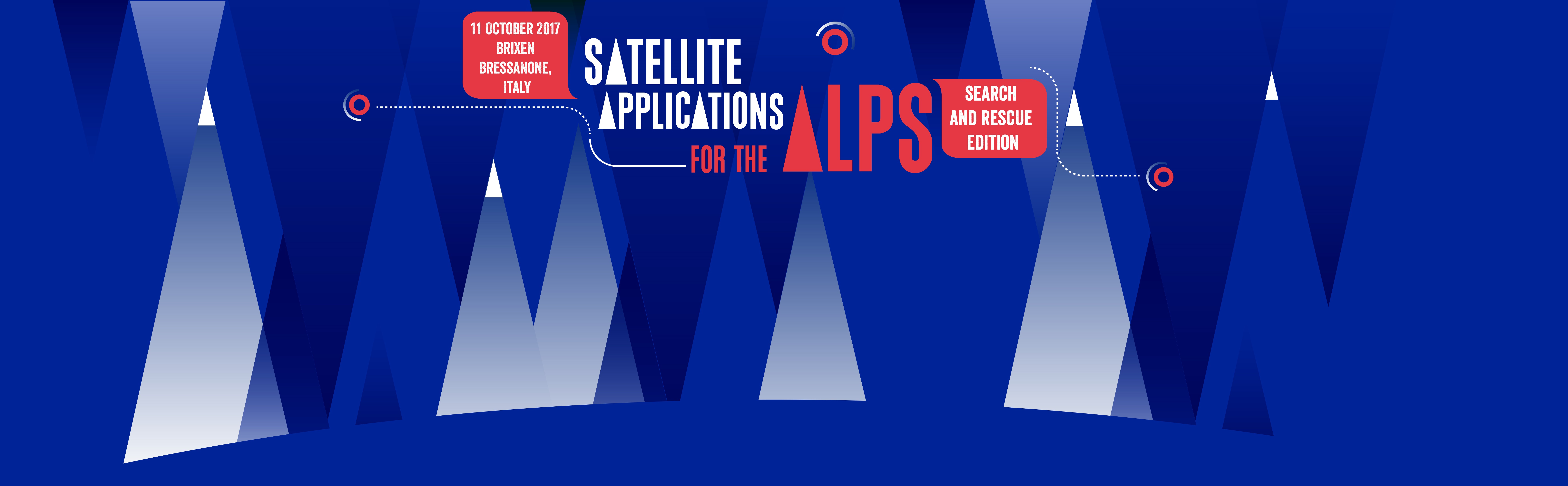
Fredrik Aarrestad, Eurisy – Introducing the Eurisy Satellite Applications for Search and Rescue in the Alps project. A presentation to share the findings from Eurisy’s survey of Alpine search and rescue organisations and prior work in the Alps leading up to the conference.
09:00 Emergency Calls and Mountain connectivity
Satellites can help locate individuals in distress. Satellite communication may enable emergency calls to be made from regions that would otherwise not have mobile coverage. Satellite navigation systems may then allow emergency response units to locate the positioning of the person, thus allowing help to reach them faster.
Daniel Sternig, Austrian Mountain Rescue Service, Bergrettung Kärnten (Austria)
The limits of emergency calls – what can be done to enable a generic way for people to transmit their location to emergency numbers?
Fiammetta Diani, European GNSS Agency (GSA)
Presenting the European Galileo Search and Rescue service: eCall and E112
Satellite connectivity in remote areas, introducing a new constellation of low earth orbiting communication satellites and their relevance to mountain search and rescue and civil protection.
Lessons learned from providing emergency call services – what should we pay attention to regarding software in the fields of search and rescue and civil protection?
10:15 Networking coffee
10:30 Team coordination and Mountain navigation
Satellites can help rescue teams perform more efficient operations. Satellite navigation systems allow rescuers to share their location with each other and with the coordination centre or other collaborators. Satellite communication are often necessary for teams to coordinate and communicate when doing search in remote and mountainous regions without mobile networks.
Katja Banovec Juroš, Slovenian Civil Protection (Slovenia)
Presenting the ALPSAR/ALPDRIS: A shared platform for cross-border search coordination on the border between Slovenia and Italy.
Florian Abt, Bavaria Mountain Rescue (Germany) and Florian Mädler 3D RealityMaps (Germany)
Presenting the 3D-RealityMaps and how they work to integrate new data relevant to search and rescue activities to enable better dearch coordination also in remote areas.
Gerd Waizmann, proTime (Germany)
Presenting the ESA TT-GSAT Project, a test and training centre for Geoinformation and satellite-based rescue and emergency services. As well as the ESA IAP
11:45 Lunch Break
12:45 Geo-information and Satellite imagery
Satellites can help provide unique information about the terrain and its changes. Earth observation can help keep maps up to date, monitor snow and avalanche dangers, and also provide rescuers and civil protection agencies with images following a natural disaster.
Marco Broglia, DG-JRC, Copernicus Emergency Management Service (Italy)
Copernicus services for Rapid Mapping and Risk & Recovery Mapping covering all phases of the emergency management cycle.
Using the Copernicus EMS Rapid Mapping system. With a practical example (activation of EMSR166 for a flash flood in Siembach/Germany).
Claudia Notarnicola, EURAC (Italy)
Using Earth Observation for Avalanche and snow monitoring.
14:00 Networking coffee
14:15 Going forward
How can the different technologies discussed be integrated into the systems used for search and rescue? Rescue organisations and civil protection agencies present their current projects and how they would like to move forward.
Matjaž Šerkezi and Dušan Peček Slovenian Mountain Rescue GRSZ (Slovenia)
Bringing it all together. Presenting the sarOS, an operating system for Mountain Search and Rescue integrating emergency call information, coordination and geo-information in one application for the rescuer.
Giorgio Basile, Ministry of Interior, Fire Rescue Branch (Italy)
The Fire and Rescue Innovation Network. A Horizon 2020 EU innovation project to enhance European collaboration and exchange of best practice, research and training between practitioners, industry and other organisations. Introducing the Horizon2020, Safety and Space Program opportunities for 2018-2020. Is there space for an Alpine project?
Introducing the EUSALP Strategy and the opportunities for Alpine projects
15:00 Conclusions
What did we learn, and where will we go further from here? Moderated discussions where working groups share their inputs and recommendations.
Eurisy Secretary General Toby Clark, where can we go from here? Sharing Eurisy’s intention to follow up on the Alps project.
Sebastian Mayrgünter, Now let’s walk the talk! Providing practical information for Day 2, and introducing participating companies and presenter who will give a technology demonstration during the hike.
15:45 End of conference
Day 2 – Walk the Talk
on 12 October we will have mountain guide and journalist Erwin Brunner take us on a networking hike in the local mountains to explore how best to implement new technologies in search and rescue activities. Tech companies, including RealityMaps, Fylax, 3Drte, Iridium, MySnowMaps, will demonstrate their solutions along the way! Check out the hike’s schedule here.
8.45 a.m. Meeting at the bottom station of the Plose cable car
9.15 a.m. Arrival on the top of Plose
9.30 a.m. Pitches of new technologies for emergency call, team
coordination and geo-information
interactive Hike
Noon Lunch at Rossalm
1:30 p.m. Discussion with Pauli Trenkwalder about the complexity of
technology, humans and mountains
2.00 p.m. Design for Wiser-Action: Integration of new applications in
existing workflows
3.20 p.m. Hike to the Plosebahn
5.00 p.m. Outlook of the walk the talk