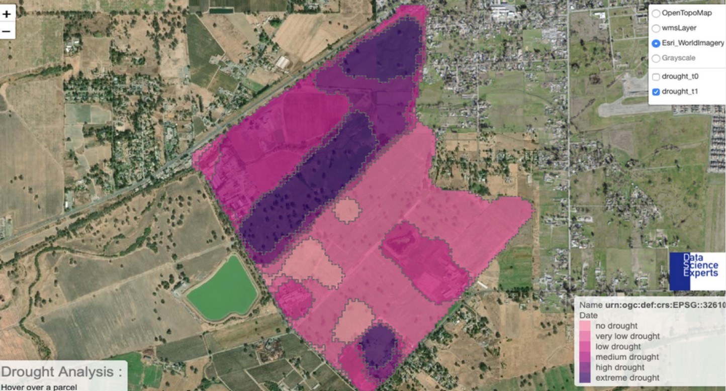

The use of space infrastructure and data results in an endless stream of applications on Earth. While an increasing number of European startups and SMEs provide downstream space solutions in numerous sectors, service providers still struggle with the overall perception that space solutions are expensive and complex.
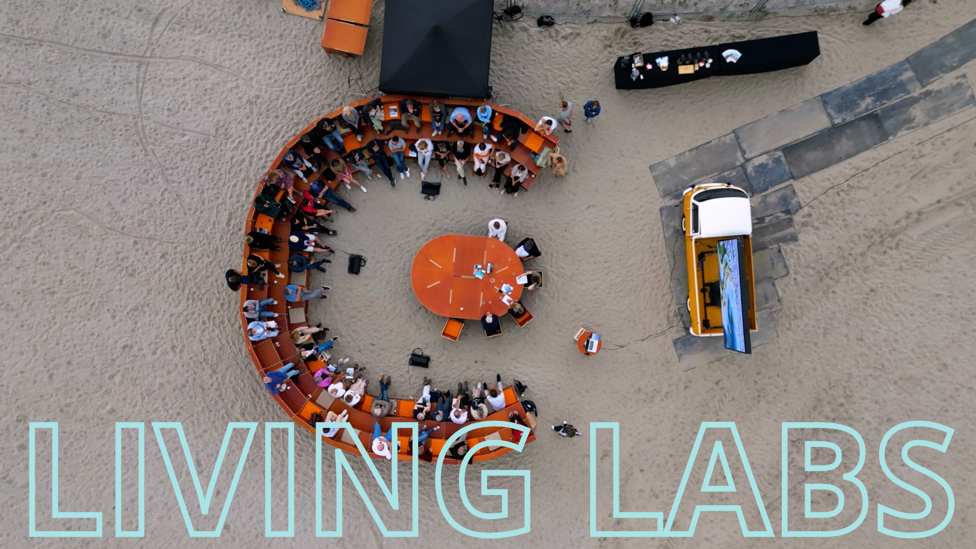
With the Space Service Hub we aim to overcome some of the major obstacles in the integration and adoption of satellite-based services. Avoiding technical jargon and with a strong focus on the use and benefits, this initiative goes well beyond the beaten tracks of space outreach to present satellite services to potential customers in a friendly and engaging way.
Discover more
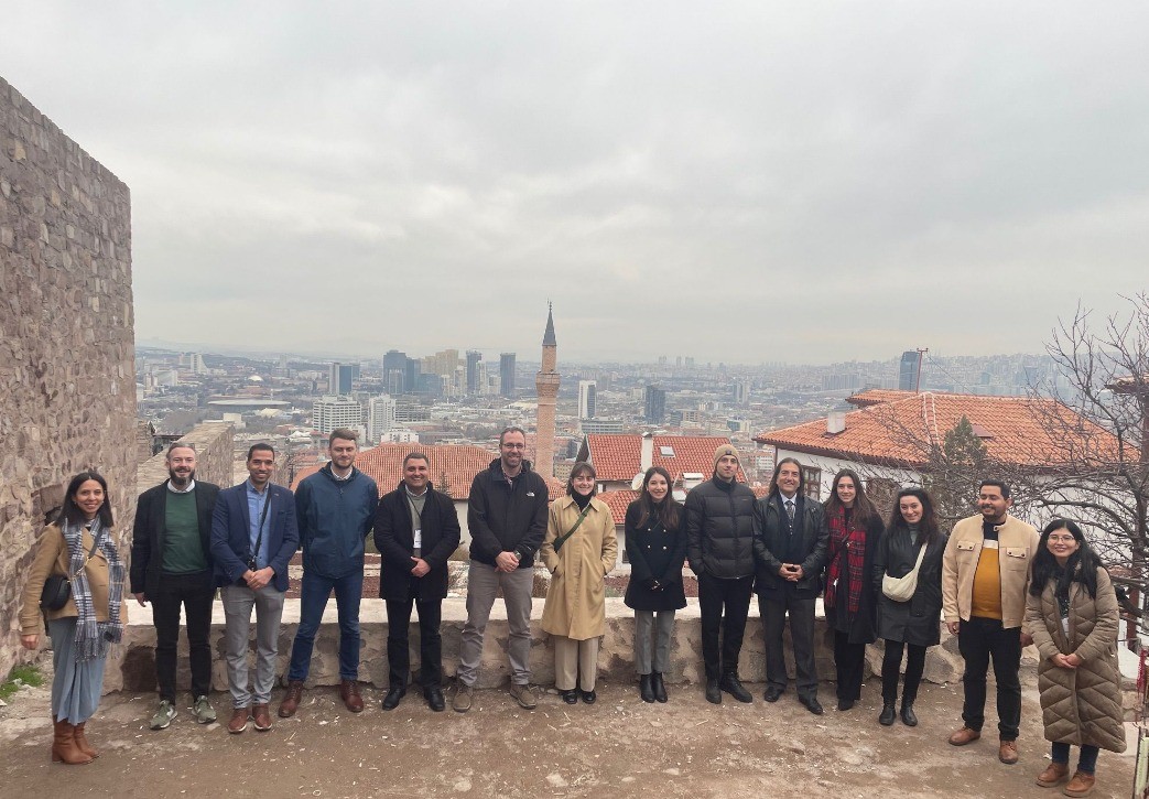
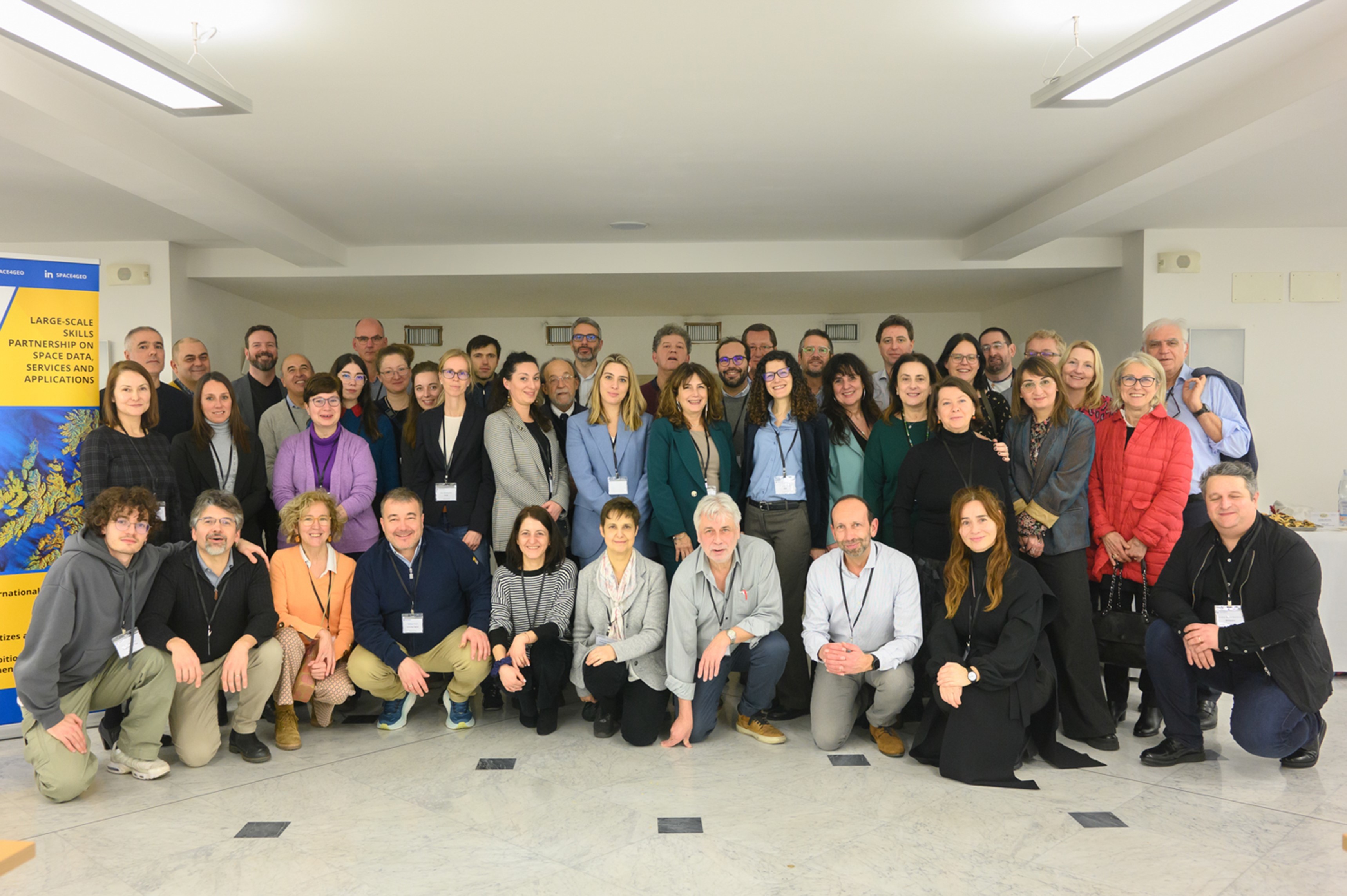
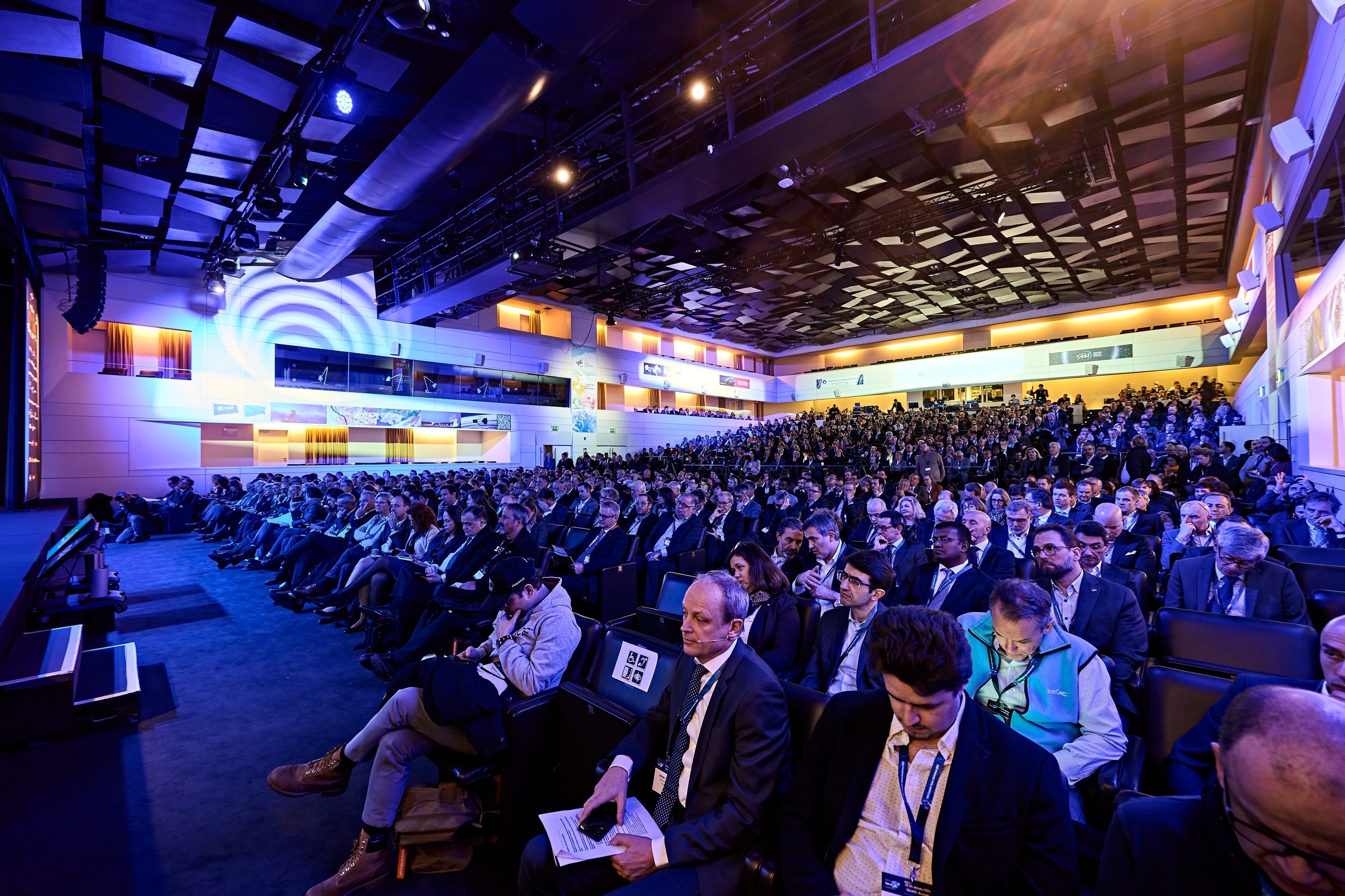
Eurisy is a non-profit association of European space agencies, governmental offices and international organisations in charge of space affairs. Eurisy favours dialogue and supports collaboration between public institutions, SMEs, industry, and academia across the space value chain. In doing so, Eurisy aims to advance the dissemination of space-derived innovation across society by leveraging its wide network of end-users. The objective is to raise awareness of satellite applications and to provide bottom-up feedback to decision-makers on the challenges faced in the uptake of space-enabled product and services. We support emerging satellite solutions which can help professional communities in many sectors of application: from transport to risk management, from habitat protection to energy, from climate change to the Internet of Things, to name a few.
Read more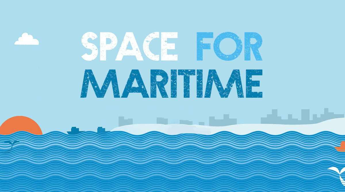
Blue Growth is defined as a long-term strategy that aims at supporting growth in the marine and maritime sectors. In this sense, the Blue Growth is extrinsically related to the potential of Europe’s seas and coasts to develop a blue sustainable economy.
Read More
Global Navigation Satellite Systems (GNSS) such as Europe’s Galileo constellation, as well as Earth observation data and satellite communications provide a considerable amount of innovative services and applications for sport activities.
Read More
Lack of nearby medical facilities and doctors, together with limited broadband and/or mobile coverage are common to many European regions. Telecommunications satellites would certainly contribute to bridging this digital gap.
Read More
The “Smart City” topic has emerged as a major policy area in most European countries, and also the space community has been promoting programmes and activities to foster the use of satellite applications to increase quality of life in cities.
Read More
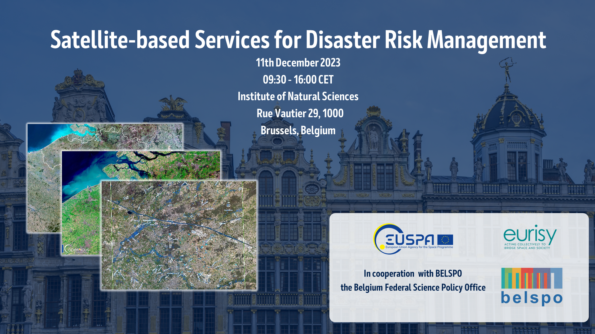
Climate change has become the biggest challenge of our time. Space has a vital and often unique role to play. Satellites are critical components providing core data for research and policy making.
Read More
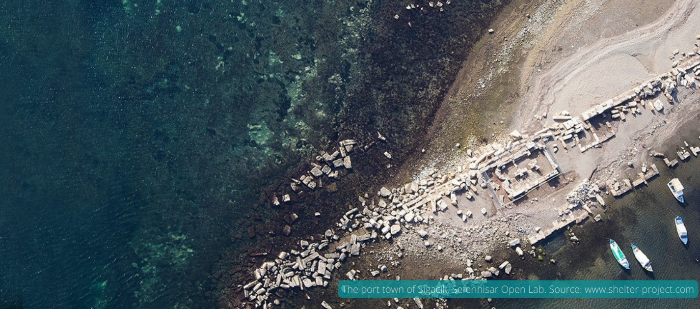
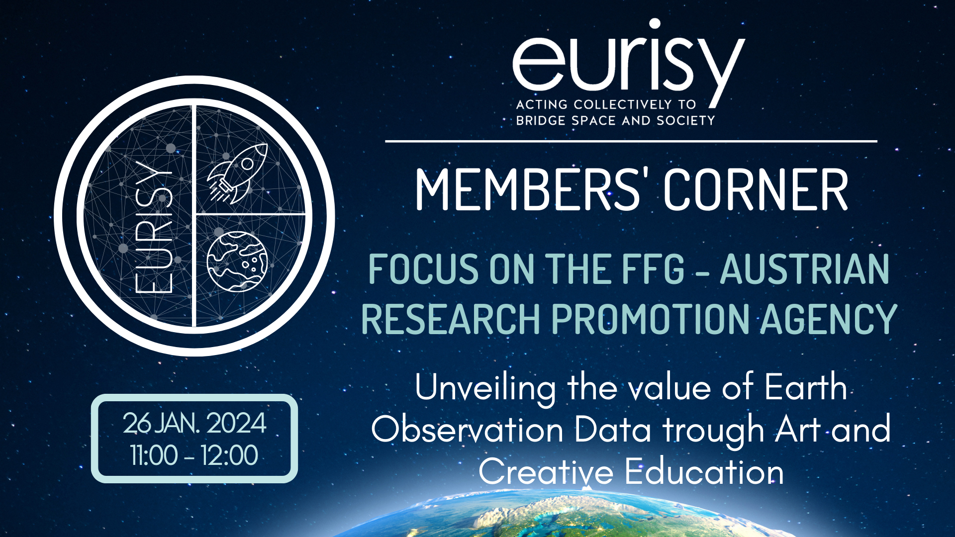
Space4Culture shows how satellite technology enables new ways to enjoy cultural activities bringing sculptures to life with satellite navigation, smoothening tourist flows through gamification, or visiting virtually reconstructed ancient places.
Read More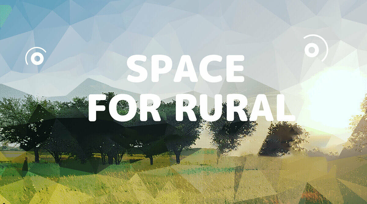
The objective of Space4Rural is to foster the use of satellite-based data and services to benefit rural areas. Satellite-based services can create economic opportunities which help us to better protect our environment by addressing current issues.
Read More
Satellite communication
Satellite communicationSpace4Cities
Satellite communication
Satellite remote sensingSpace4Culture
EducationSatellite communication