Trailze: Boosting outdoor experiences with satellite navigation and crowdsourcing
The start-up
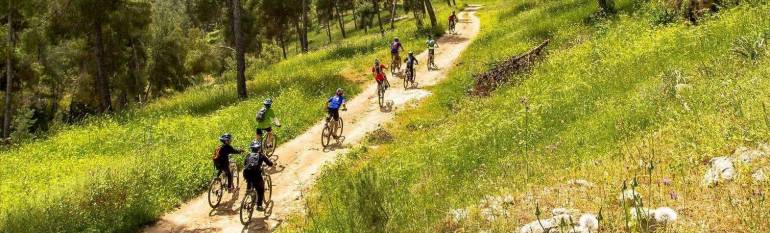
Trailze is a five people start-up created in December 2014 and based in Tel-Aviv, in Israel. It is specialised in outdoor activities solutions. It was initially funded by the Israeli Chief Scientist via TheTime incubator. At Trailze, mountain bikes are considered as “company vehicles”. Indeed, the team is using them on a daily basis to develop and test its product.
The opportunity
While street maps in cities are now ubiquitous, precise, digital outdoor maps are harder to come by. Indeed, most hikers and bickers are still using paper maps, which are not updated very frequently. Directions can thus be very misleading and as a result people get lost. Moreover, most of the times, the accuracy of such maps is not very good either, with many of the trails missing or incompletely covered.
Being outdoor activity lovers themselves, Trailze team members decided to come up with an outdoor navigation solution that would fill in that gap in.
The satellite solution
The start-up developed an eponymous location-based service, the Trailze app. It relies on topographic maps from Open Street Map as background information, but the originality of Trailze app is that it strongly leverages crowdsourced data. Indeed, a strong user community is one of the key components of the service.
While hiking or biking, users can record their itinerary directly on the application and share it with other Trailze users. The quality of the newly recorded trail is then rated by the user community, enabling users to take better-informed decisions before choosing a route. Finally, besides directions, the app provides additional information such as height difference, remaining kilometres, and how long it will take to finish the trail.
The results
The first version of Trailze was launched in Israel in June 2015. In just six months, the application reached 50,000 users across the country, with nearly half of its users using it on a regular basis. Over 2000 trails are now available in more than 95,000 kilometres already mapped by the app.
Riders were the first to adopt Trailze but since then nearly half of the users are interested in hiking, jeeping and family trips. New features will soon be included, such as real-time information on safety. In October 2015, the start-up won the European Satellite Navigation Competition regional award.
Trailze is now expanding to Europe, and has opened an antenna in the United Kingdom. Founders are also interested in the Alps and Black Forest regions where there is a huge need for a reliable digital navigation aid. Finally, the start-up is looking into developing white-label versions of its application for public authorities and businesses.
Thanks to Trailze, outdoors navigation is changing, forever. Ronen Bitan, Trailze Co-Founder and CEO.