Rotterdam: Understanding and mitigating the effects of climate change
The City
Rotterdam is the second largest Dutch city and a rail, road and air transportat hub, connecting the largest port in Europe to its hinterland. The Municipality is committed to preserve its image of a healthy and attractive city for citizens as well as for businesses.
The Challenge
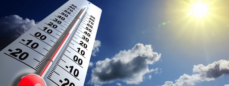
Urban areas react differently to solar radiation than their rural surroundings. They accumulate heat more rapidly and retain it for longer. Therefore, the air temperature is normally higher in cities, especially at night. This phenomenon is called an Urban Heat Island (UHI). Its magnitude depends on building density, vegetation coverage, facades and paving materials, among others. The heat waves of 2003 and 2006 caused between 1000 and 2200 extra deaths in The Netherlands, a country warming up twice as fast as the global average and whose urbanisation rate is expected to increase by 20% by 2040.
Since 2009, the city of Rotterdam participates in a research programme aimed at quantifying the UHI and identifying causes and possibilities for mitigation.
The Satellite Solution
Ground observations were carried out using fixed stations and bicycles equipped with mobile meteorological stations assessing air temperature, radiation and air quality. The precise location of measurements was logged using GPS. Similar equipment has been installed on trams crossing the city each day.
To analyse the spatial distribution pattern of surface temperature, a measurement of the UHI in Rotterdam was implemented with satellite imagery, allowing for the detection of correlations between surface characteristics and temperature. Based on the satellite images, an indicative map was elaborated showing the relative UHI-intensity for different neighbourhoods.
The Result
The collection of spatially quantified information on the extent of the UHI effect in Rotterdam enables the Municipality to prioritise its climate adaptation activities. The Departments of Public Works and Urban Planning can count on reliable information to identify the areas needing more vegetation or water coverage. The choice of materials for facades and paving may now be based on their heat reducing capacity. Furthermore, policy makers and health organisations can have a better understanding of the relationship between individuals’ health and their physical environment. Finally, the research programme will produce an insight on the relation between climate conditions, energy and climate management within buildings.
“Satellite imagery has helped Rotterdam get a better understanding of how climate change may affect our city and to target our efforts to cope with it”, Jos Streng, Rotterdam Public Works Department
