Emilia-Romagna Region: using a satnav solution to monitor subsidence
The region
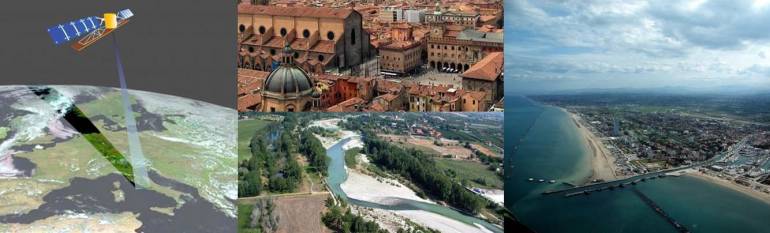
Emilia-Romagna is a coastal Italian region of 3.9 million inhabitants. Its coastline is 130 km long, with about 110 km of low sandy beaches. The region is crossed by two main rivers: the Po and the Reno. The Directorate General manages water, soil and coast protection, among other competences.
The challenge
The Emilia-Romagna Region has been facing subsidence phenomena in the Po river basin and coastal plains that have caused a loss in the efficiency of water management systems, serious effects on historic monuments, accelerated erosion of the coastline and an increase in the propensity to flooding in both coastal and inland areas.
It was of fundamental importance to develop a system that would allow the monitoring and identification of the critical points (where to intervene) with an adequate monitoring network throughout the regional territory.
The solution
In 1999, ARPA, on behalf of the Emilia-Romagna Region and in collaboration with the DICAM department of the Bologna University, has established and measured a leveling network covering the whole regional part of the Po plain, and a GPS network. In 2006, a major upgrade of the 1999 survey was made using satellite radar data, with a calibration of these data throughout a high precision leveling of a subset of points of the network used for the subsidence survey in 1999.
In 2011, ARPA has updated the previous monitoring method, using a new integrated approach: a SqueeSAR™ analysis of satellite data was carried out for the whole regional plain territory and, in parallel, the acquired data from 17 GPS permanent stations were processed in order to calibrate and validate the results of the analysis. In this way, the GPS permanent stations became a landmark, out of which are accurately measured “absolute” movements over time.
The results
The method used in 2011 has provided a more accurate definition of soil movement speed, compared with the 2006 survey. This technique also allowed the Region to reduce costs significantly in addition to obtaining much more widespread, homogeneous and accurate information. Further advantages could be achieved by an increase in the number of GPS permanent stations, and the availability of satellite radar data such as Sentinel 1A satellite data.
A definition of subsidence rate particularly accurate and homogeneous, as the one obtained, constitutes an essential basis for further work aimed at acting on the causes.
“Satellite technology allowed the lowering of subsidence monitoring costs while providing in the same time an informative enhanced density on the regional territory and an improvement of the accuracy of data and related analysis” Roberto Montanari, Emilia-Romagna Region