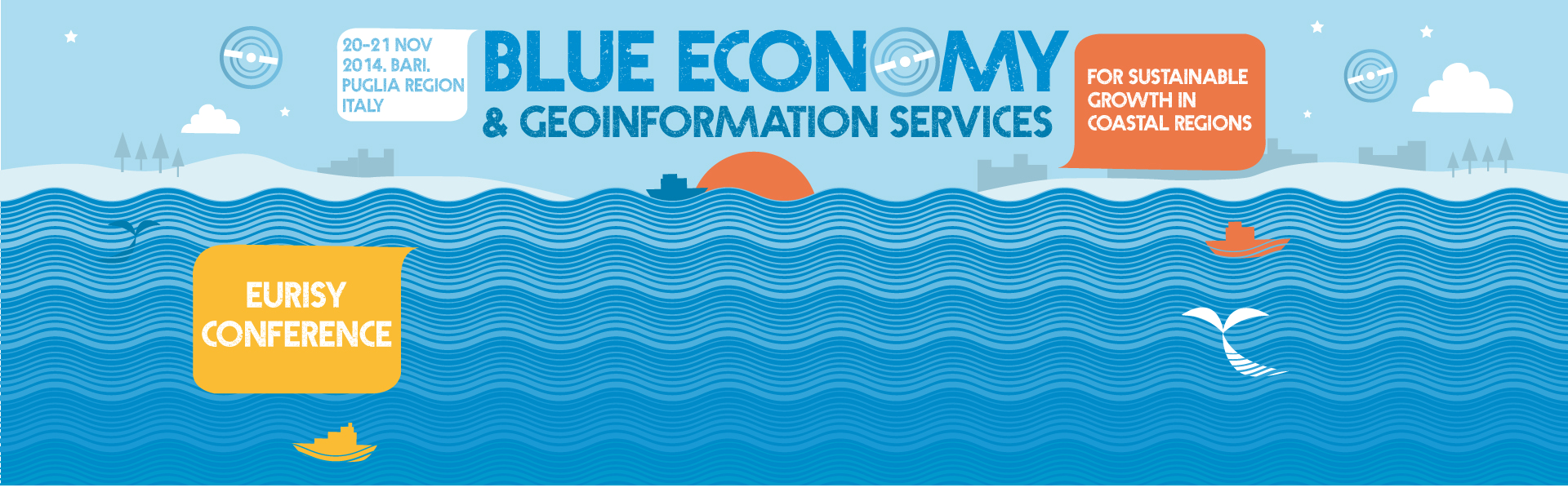
Day 1 – Thursday 20 November
13:30-14:00 Registration
14:00-14:15 Welcome
Chairperson: Angela Barbanente, Puglia Region Vice-President
Welcome addresses: Silvio Maselli, Assessor of the Municipality of Bari; Alessandro Ambrosi, President of the Chamber of Commerce of Bari; Colin Hicks, Eurisy President
14:15-15:30 Keynotes
Peripheral and maritime regions in Europe: challenges and opportunities – Damien Périssé, Director – Responsible for maritime affairs, innovation and competitiveness, CPMR
Innovation and Blue Growth in European coastal regions – Adam Banaszak, Member of the NAT commission of the Committee of the Regions
Satellite applications as innovative, operation tools for regional authorities needs – Roberto Battiston, President, Italian Space Agency (ASI)
Regional maritime strategies and challenges: the Apuglia example – Angela Barbanente, Puglia Region Vice-President
Puglia: a leader in European cooperation projects – Bernardo Notarangelo, Puglia Region
15:30-16:00 Coffee break
16:00-17:30 Good practices session 1: Environment
& risk management
Representatives of regional or national public administrations share their experience in using geo-information (derived from satellite images and other sources) and location-based services operationally in the field of environmental and risk management
Chair: Bernardo Notarangelo, Head of the Mediterranean Department, Puglia Region
Experience of the Emilia-Romagna Region using satellite application for the subsidence monitoring – Roberto Montanari, Emilia-Romagna Region
Marine environmental monitoring and sea situational awareness: practical examples of user centered applications – Rita Lecci, European-Mediterranean Centre on Climate Change
Start-up of Katic marine protected area in Montenegro and assessment of marine and coastal ecosystems along the coast – Mia Fant, Studio Galli Ingegneria S.p.A
Geoinformation services at support of coastal zone management in Lazio Region – Piergiorgio Scaloni, Lazio Region
- Nicola Ungaro, ARPA Puglia
17:30-18:00 Wrap up of the day & introduction of Day 2 sessions
Day 2 – Friday 21 November
09:00-10:30 Good practices session 2: Natural heritage
& sustainable economic development
Representatives of regional or national public administrations share their experience in using geo- information services (derived from satellite images and other sources) and location-based services operationally in the field of natural heritage protection and sustainable economic development (transports, tourism, infrastructures).
Chair: Cédric Hananel, EBN
Marine navigation assistance via a mobile application – Francis Fustier, Weather4D
EASY: Reliable and safe yachting thanks to satellite applications – Marco Arcuri, AM Project Management
Enhancing nautical tourism with satellite navigation – Pasquale Santoro, Gargano National Park & Giacomo Mangani, Blue Thread
Using satellites to track sea turtles from Greece – ALan Rees, Archelon
10:30-11:00 Coffee break
11:00-13:00 Roundtable: Opportunities for satellite application
transferability : training, financing mechanisms,
cooperation networks
Regional Authorities and space sector representative discuss existing opportunities and obstacles (funding, access to data…) for integrating satellite solutions in their activities
Moderator: Stefaan de Mey, Eurisy
- Corine Lochet, Provence-Alpes-Côte d’Azur Region
- Cécile Thomas-Courcoux, MyOcean (EU Copernicus Programme)
- Giovanni Coppini, European-Mediterranean Centre on Climate Change
- Claudio Polignano, Mediterranean Department of Puglia Region
- Giovanni Sylos Labini, Puglia Aerospace Technology District (DTA)
- Alessandra Fiumara, Italian Space Agency
13:00-13:30 Conference closure
Conference objectives
- to raise awareness, through examples of good practices by regions, cities and SMEs, on the uses and benefits of geo-information services (resulting from satellite, aerial images, and other sources) for coastal management
- to discuss how geoinformation services can contribute to the implementation of European policy objectives of growth, jobs and environmental sustainability in the coastal and maritime sectors (Integrated Maritime Policy, Maritime Strategy Framework Directive).
- to facilitate networking and partnerships among stakeholders
Target audience
- Policy makers, public authorities and public agencies on all levels of governance with focus on regions
- Clusters, SMEs and larger companies operating on the coast/marine sectors
- Space community: decision-makers, industry, geoinformation and satcom service providers
- Other stakeholders: associations, NGOs…
*invited